Paddling maps for our local waterways including Sea to Sky Marine Trail, Desolation Sound, Broken Group, North Gulf Islands, Outer Gulf Islands, and South Clayoquot. Read more.
Paddling maps for our local waterways including Sea to Sky Marine Trail, Desolation Sound, Broken Group, North Gulf Islands, Outer Gulf Islands, and South Clayoquot.
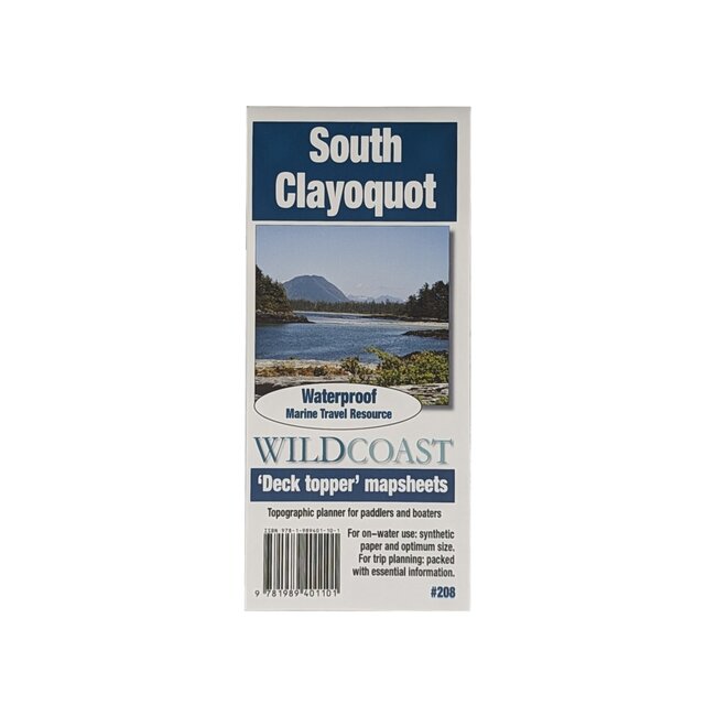
These maps are made of durable waterproof polymer paper and feature an abundance of useful information, such as camp sites, points of interest, and local hazards.
See details on individual maps below:
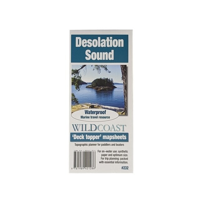
This mapsheet covers the immediate waters around Desolation Sound, and so is perfect for launches from Lund or Okeover Inlet into the provincial park attractions such as Copeland and Curme islands. It also covers the surrounding area for wider trips into the region, including most of Cortes Island and attractions such as Manson Landing, Marina Island and Gorge Harbour, making it ideal for regional excursions from the Sunshine Coast launches. The southern extent includes beautiful Savary Island.
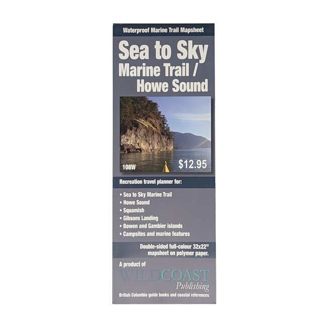
The Sea to Sky Marine Trail links West Vancouver and Squamish, and as part of the Trans Canada Trail creates a vast new recreational area in one of BC’s most scenic and accessible locations. This mapsheet shows how to enjoy both the marine environment and the adjacent land features and trails in large-scale format.
Includes full coverage of the Broken Group Islands section of Pacific Rim National Park reserve, as well as Ucluelet Inlet and the area around Toquaht Bay, the most popular launch point into the area.
This mapsheet covers Nanaimo Harbour, Newcastle Island, Gabriola Island, the De Courcy Group, all of Valdes Island and as far south as Porlier Pass, Dionisio Provincial Park and Ladysmith.
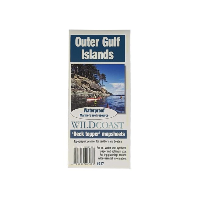
This mapsheet covers the waterways in the easternmost extent of the Gulf Islands, and so includes all of Saltspring Island, Saturna, Penders, Mayne and South Galiano, as well as all the smaller islands as far south as Swartz Bay. This makes this mapsheet the ideal travel companion for trips anywhere in these outer islands to destinations such as Cabbage Island, Narvaez Bay, Prevost Island, Sansum Narrows and Portland Island as far as Montague Harbour.
This mapsheet packages the inner waters of Clayoquot Sound including Tofino Inlet and routes to circumnavigate Meares Island, as well as routes to the beaches of Vargas Island and the islands and islets north to Whitesand Cove on Flores Island.